FLIR OGI Inspections
Visualize otherwise invisible hydrocarbon gas emissions and document potential emission sources.
Technology & Field Measurement
BlueSky combines advanced field technology with disciplined engineering to detect methane emissions, quantify emission rates, preserve defensible evidence, and support informed methane-abatement decisions.
Visualize otherwise invisible hydrocarbon gas emissions and document potential emission sources.
Quantify methane emission rates to support engineering analysis and project evaluation.
Transform field observations and measurements into disciplined technical and project-development decisions.
Preserve photographs, OGI video, measurements, location data, field records, and supporting documentation.
Measurement Matters
Methane emissions from orphaned and abandoned oil and gas wells may not be apparent during a conventional visual inspection. Specialized field technology gives our team additional information to evaluate potential emission sources.
BlueSky combines optical gas imaging, direct measurement, site documentation, engineering analysis, and structured evidence management to develop a clearer technical record for each project.
Detect
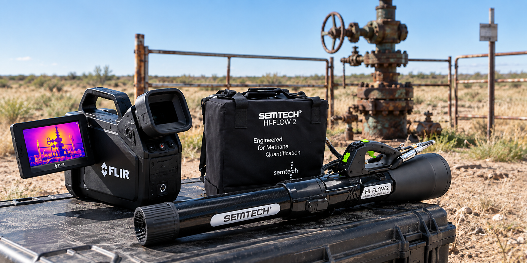
FLIR optical gas imaging technology allows trained field personnel to visualize hydrocarbon gas emissions that may otherwise be invisible to the naked eye.
OGI inspection can help identify potential emission points, document site conditions, and provide visual evidence for further evaluation and measurement.
Measure
The SEMTECH High-Flow 2 provides quantitative measurement capability for methane emissions encountered during field assessment.
Measurement results can be incorporated into engineering evaluation, emissions analysis, project screening, and supporting technical documentation.
From Field Observation
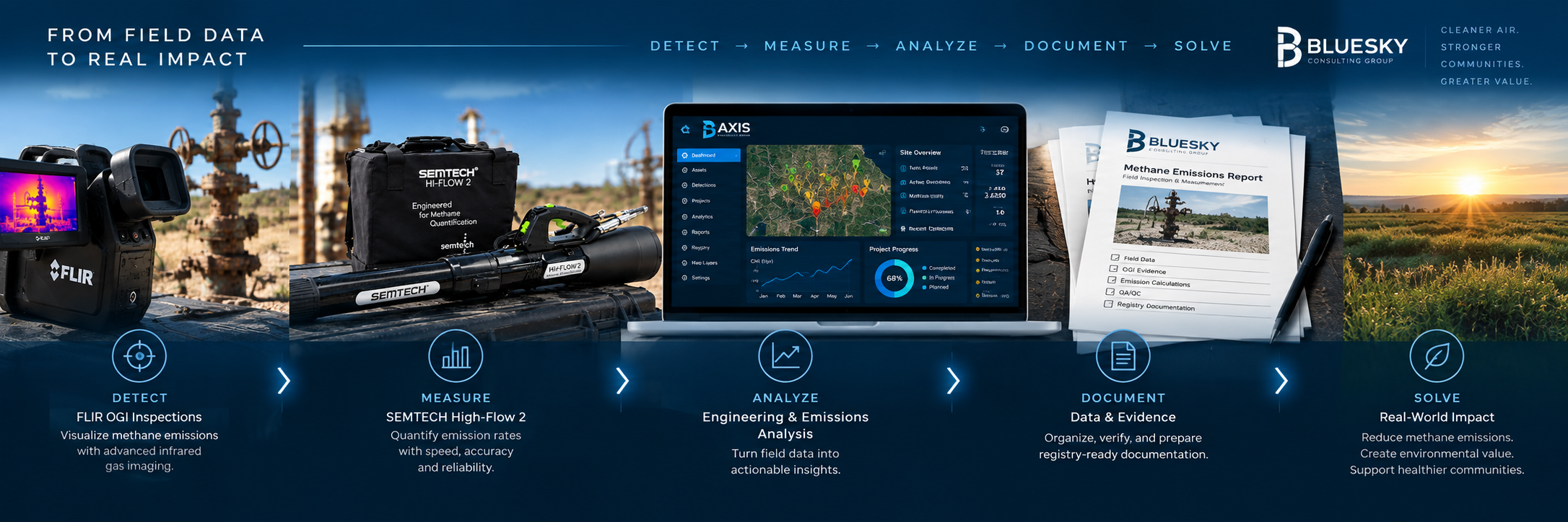
Identify potential methane emission sources.
Measure emissions using appropriate field equipment.
Apply engineering and project-development analysis.
Preserve evidence and create an auditable project record.
Proven Field Technology
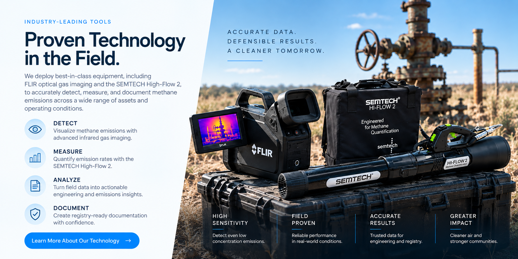
Technology is only valuable when it produces information that can support a sound decision. BlueSky integrates field measurement with engineering judgment, project controls, and disciplined documentation.
Evaluate actual well and site conditions rather than relying exclusively on historical records.
Add measurable emissions data to the technical evaluation where appropriate.
Connect field results with engineering, operational, and project-development analysis.
Maintain organized supporting records for project review, reporting, QA/QC, and verification workflows.
Disciplined Documentation
BlueSky’s field workflow is designed to preserve the information needed to understand what was observed, where it occurred, how it was measured, and how the project progressed.
Well identification, location, coordinates, project information, and site conditions.
Field photographs, OGI observations, equipment condition, and supporting site documentation.
Relevant instrument records, field measurements, calibration documentation, and source data.
Engineering analysis, QA/QC, project evaluation, and supporting technical conclusions.
Organized evidence and documentation supporting reporting and downstream project workflows.
From Field to Platform
BlueSky’s proprietary AXIS Professional platform provides a structured environment for managing project information, field evidence, engineering analysis, QA/QC, reporting, and registry-related workflows.
Technology With a Purpose